


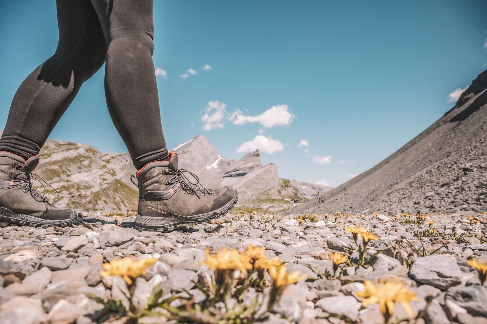
Pure hiking
A view at every turn
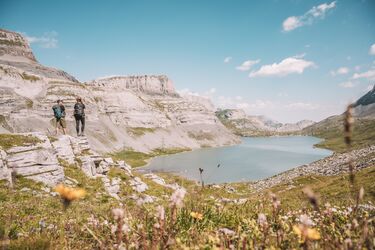
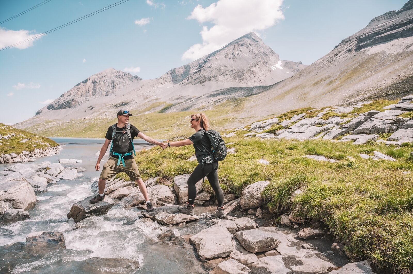
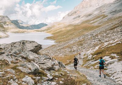
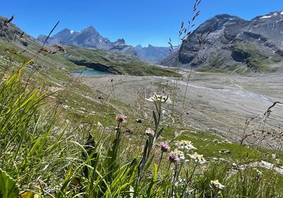
On the Gemmi Plateau, hikers are greeted by a breathtaking world of open spaces, tranquility, and panoramic views. Well-maintained trails lead through a fascinating landscape of rock and high mountains, past clear mountain lakes and alpine flora and fauna. Here you can enjoy a leisurely loop hike or an extended tour.
Out and about on the plateau
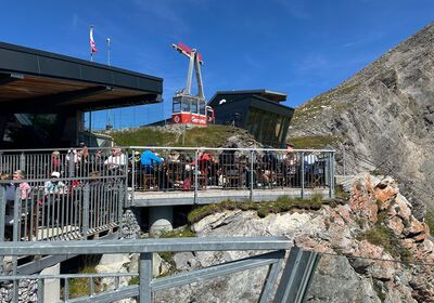
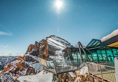
After taking the Gemmi Cable Car, you’ll find yourself right in the heart of the hiking area. The Gemmi plateau connects the Valais with the Bernese Oberland. From here, trails lead to Kandersteg and Sunnbüel, to Adelboden, into the Lötschental, or toward Crans-Montana. This is also the starting or ending point of the historic Gemmi Trail, which winds its way up the steep Gemmiwand from Leukerbad.
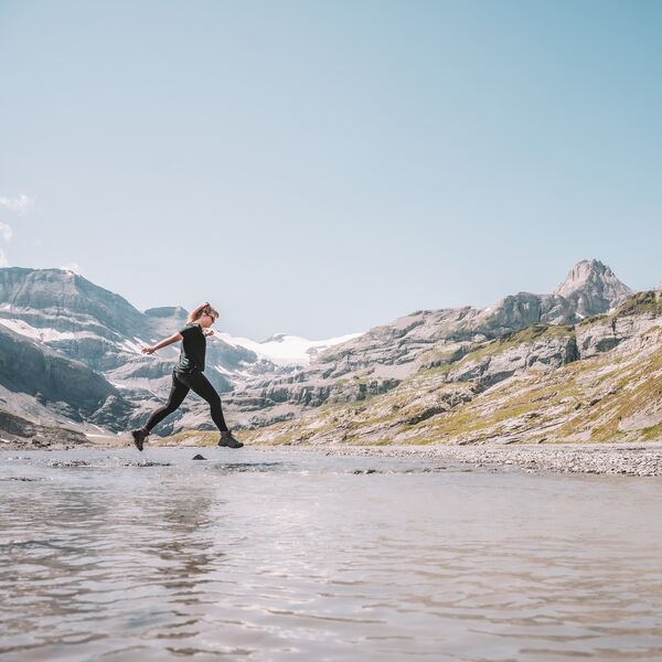
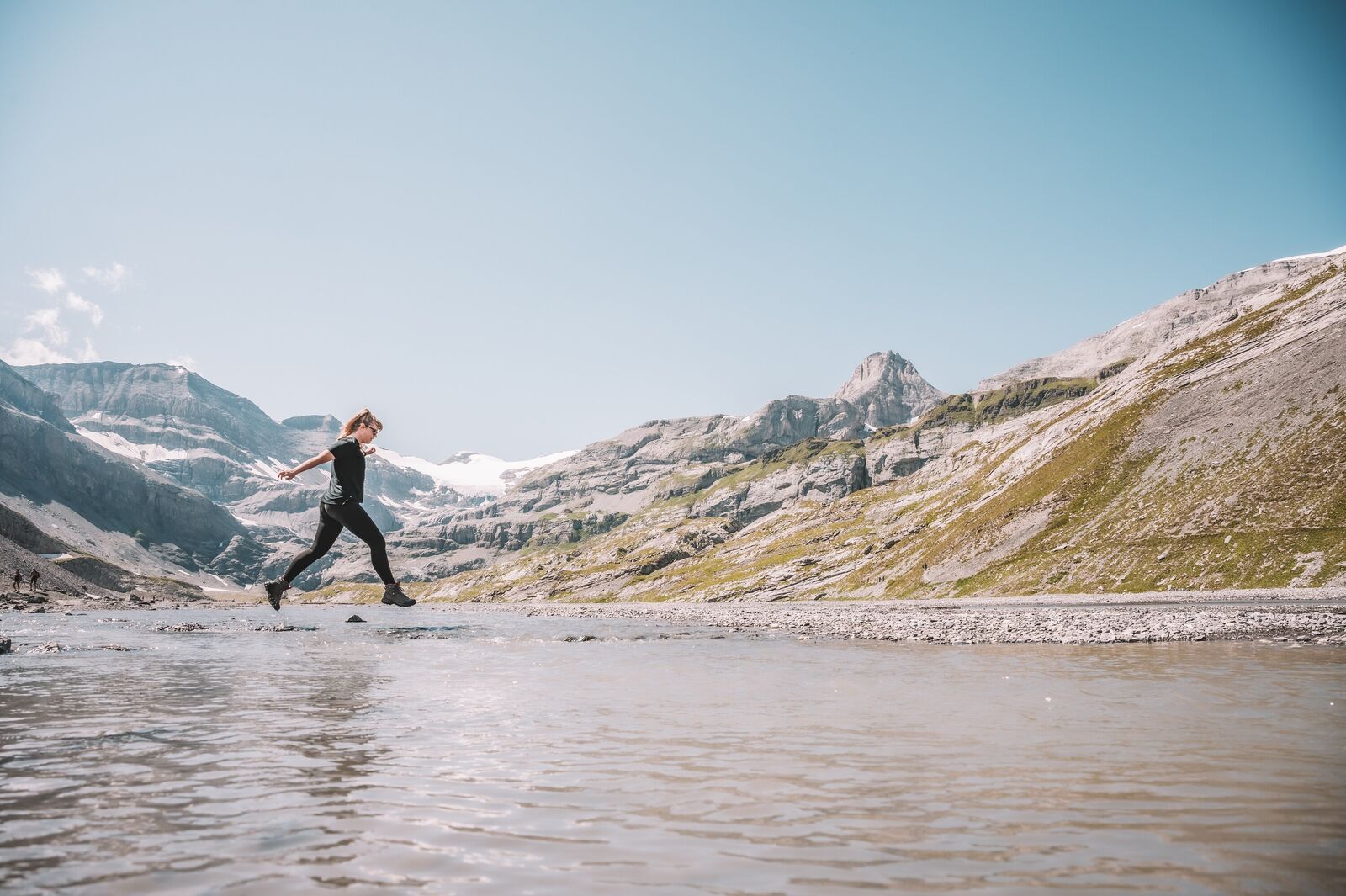
Around Lake Dauben and on the plateau, easy trails invite you to take peaceful walks. If you continue further, you’ll reach passes, ridges, and alpine peaks. The terrain becomes more alpine, the trails narrower, and the landscape more expansive.
The Gemmi is not just a viewpoint. It’s a starting point for many hiking adventures.
Hiking vacations with Gemmi as a base camp
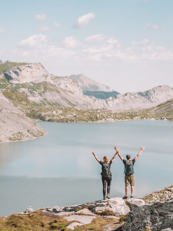
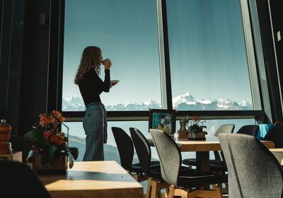
From the Gemmi Plateau, you have direct access to everything from easy loops around Lake Dauben to challenging alpine hikes to striking peaks. You start right at the hotel, which is located in the heart of the hiking area and serves as a starting point for hikers, ambitious mountaineers, and guided tours. Guests staying here begin their day in the high mountains, not in the valley.
After a day of intense hiking, you can look forward to:

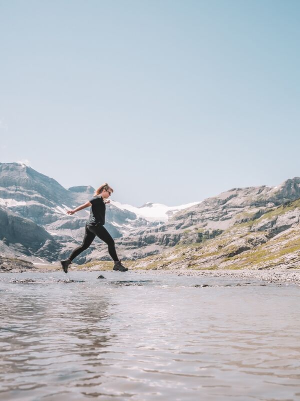
Gemmi–Daubensee
Gemmi–Daubensee
A peaceful hike across the plateau through open countryside. The trail leads from the Gemmi Pass around Lake Dauben. Minimal elevation gain, vast open spaces.

Gemmi – Sunnbüel
Gemmi – Sunnbüel
The classic route connecting Valais and the Bernese Oberland. The trail follows the historic Gemmi Pass trail to Sunnbüel, above Kandersteg. Vast plateaus, striking rock formations, and clean lines in the landscape.
You can go as far as Sunnbüel and then take the cable car to Kandersteg, or continue on foot down into the valley for a more challenging hike. The route can also be taken in the opposite direction.

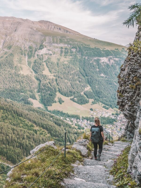
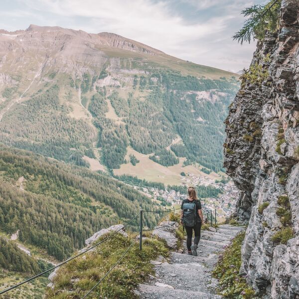
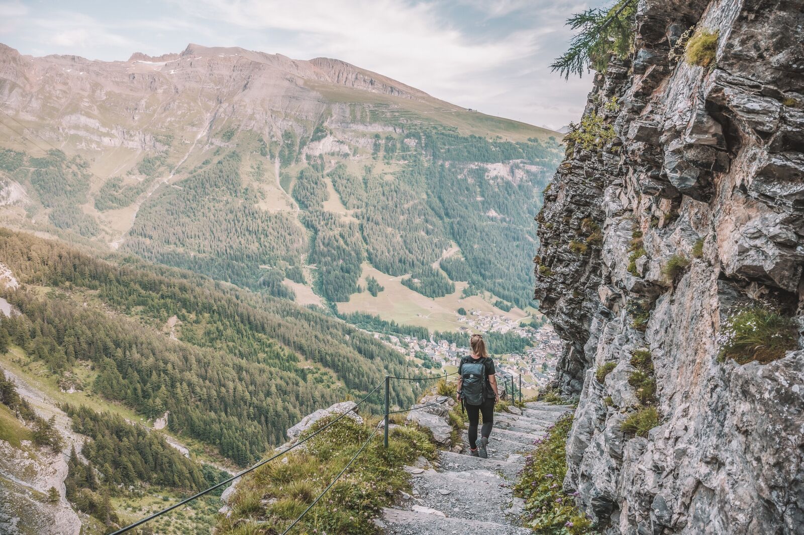
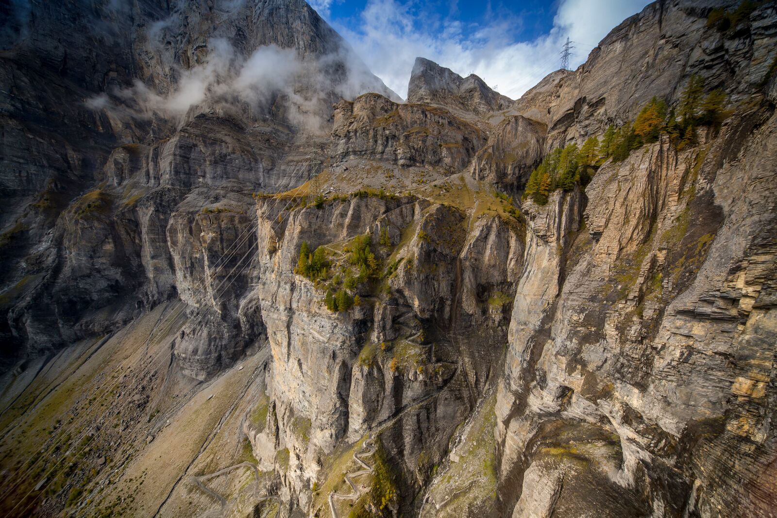
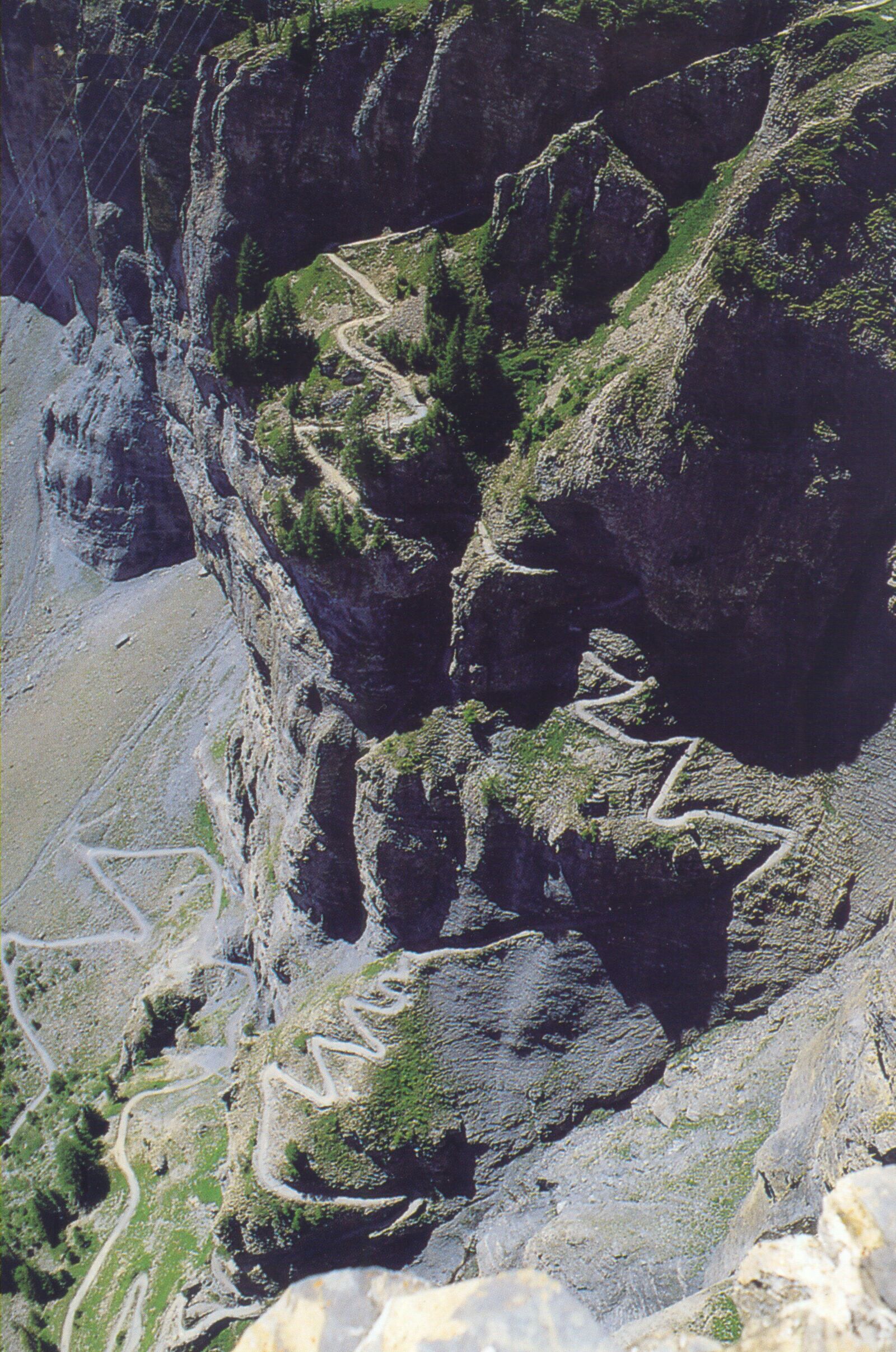
Gemmiweg (Leukerbad – Gemmi)
Gemmiweg (Leukerbad – Gemmi)
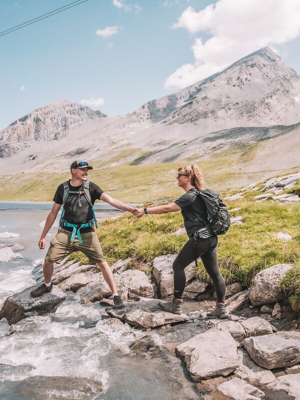
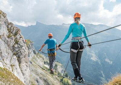
This historic mule track has connected the Valais with the Bernese Oberland for centuries. The ascent from Leukerbad leads through steep rocky slopes with impressive views down into the valley. The trail to the Gemmi Pass is well-maintained. Nevertheless, this steep and occasionally exposed mountain hike should not be underestimated. Sure-footedness is required.

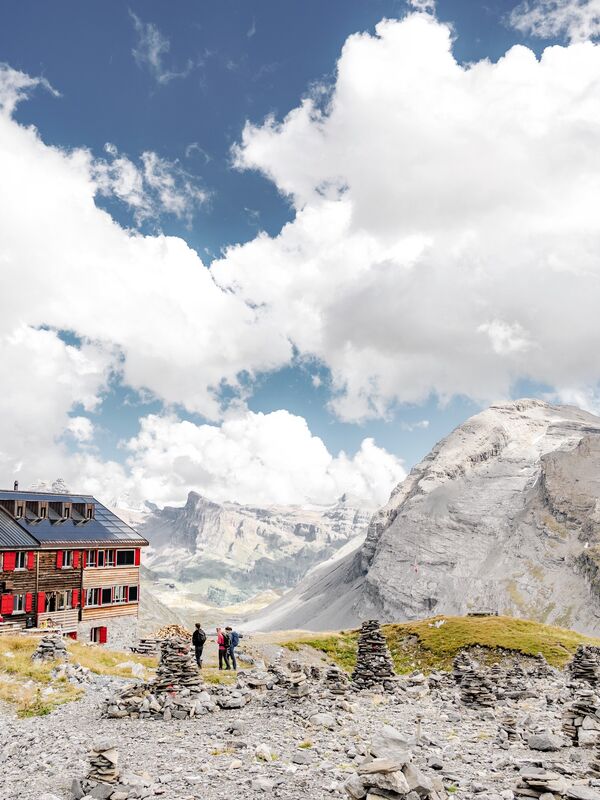
Gemmi – Lämmerenhütte SAC 2,501 m
Gemmi – Lämmerenhütte SAC 2,501 m
From the Gemmi Pass across the Lämmerenboden to the Lämmeren Hut near the rocky Wildstrubel massif. The trail leads across wide plateaus and becomes steeper in the upper section. For hikers with sure footing and a head for heights; the final ascent to the Lämmeren Hut is secured with chains.

Schwarzhorn – Crans-Montana
Schwarzhorn – Crans-Montana
A long and varied traverse from the Gemmi to Crans-Montana. The route leads over the Rothornlücke through barren high-altitude landscapes and wide open areas. Includes the Schwarzhorn summit (3,105 m); rated T4. For hikers with sure footing and a head for heights.
Available as a guided two-day tour upon request.
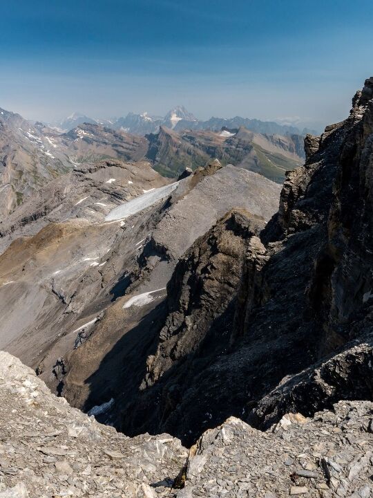

Steghorn 3,147 m
Steghorn 3,147 m
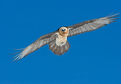
Alpine day hike to the home of the bearded vulture. From the high plateau, the trail leads across the vast Lämmerenboden toward the Lämmeren Hut. After that, the route becomes challenging. Via the so-called "Leiterli," you’ll reach the vicinity of the Steghorn Glacier. From the summit of the Steghorn, you’ll enjoy sweeping views of the Bernese High Alps and the Valais mountains.
For sure-footed hikers with no fear of heights and alpine experience.
Available as a guided one- or two-day tour.
More hiking trails and inspiration
You can find more routes and inspiration on the Leukerbad website or at swisstopo.